PAGASA said tropical storm “Hagupit” is forecast to enter the Philippine Area of Responsibility (PAR) over the weekend.
In its 11 a.m. bulletin on Thursday, May 7, PAGASA said the tropical storm is expected to move west-northwestward and may enter the PAR between Saturday evening, May 9, and Sunday morning, May 10.
“Hagupit” maintained its strength while moving westward over the sea south of Guam.
As of the latest bulletin, the tropical storm was located 1,895 kilometers east of northeastern Mindanao, outside the PAR.
It has maximum sustained winds of 65 kilometers per hour, gusts of up to 80 kph, and is moving westward at 20 kph.
Based on PAGASA’s forecast, the weather disturbance may further intensify into a high-end tropical storm. However, due to unfavorable environmental conditions, it may weaken into a tropical depression by Tuesday, May 12, while over the Philippine Sea.
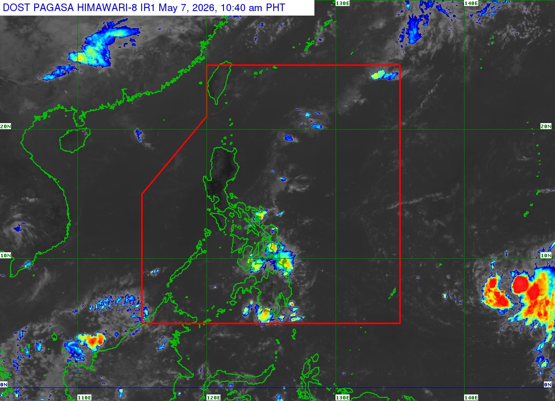
Once it enters the PAR, the tropical storm will be given the local name “Caloy,” PAGASA said. (Photo from PAGASA)