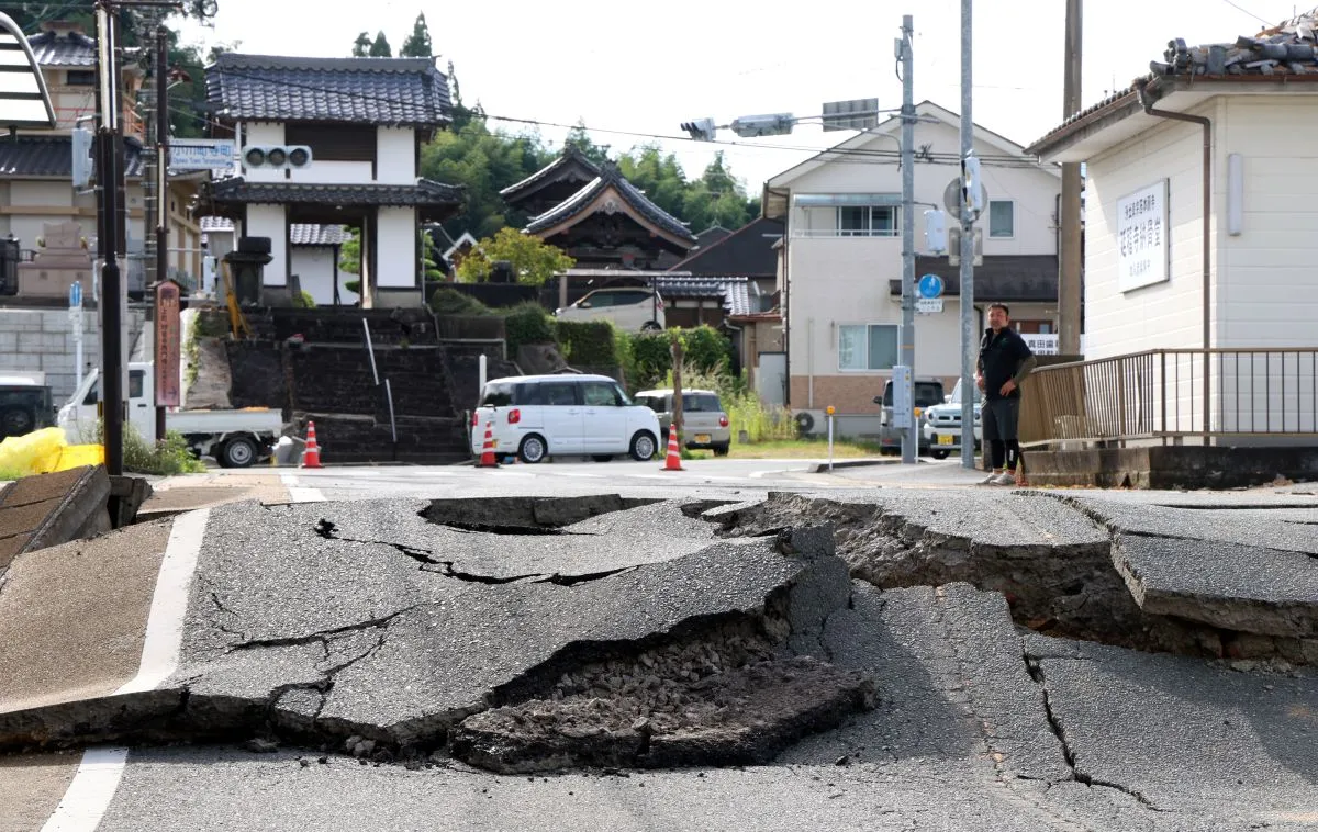
The magnitude 7.1 earthquake that struck Kumamoto Prefecture in Japan on Tuesday caused ground shifts of up to 84 centimeters, according to an analysis.
Japan’s Geospatial Information Authority of Japan used the Global Navigation Satellite System to assess crustal deformation resulting from the quake, local media outlet The Japan News reported.
The largest displacement—84 centimeters—was recorded in a northeasterly direction in Yatsushiro, Kumamoto.
“A displacement of similar scale occurred during the earthquake that struck the same prefecture in 2016, highlighting the impact of the recent quake,” the report said. “Following a major earthquake, the institute analyzes ground motion at about 1,300 electronic benchmark points nationwide.”
Local reports said the greatest crustal deformation occurred in the Sencho district of Yatsushiro, near the quake’s epicenter. In the area, the ground shifted 84 centimeters to the northeast and subsided by 30 centimeters.
In the Jonan district of Kumamoto, the ground moved about 40 centimeters north and rose by around 10 centimeters.
Meanwhile, in the Izumi district of Yatsushiro, the ground shifted 17 centimeters to the south, the report added.
The agency’s analysis also showed that the fault responsible for the quake—measuring about 29 kilometers long and 6 kilometers wide—shifted by approximately two meters. — Photo from The Sankei Shimbun